Relocating to Colorado Springs: Essential Tips for 2026
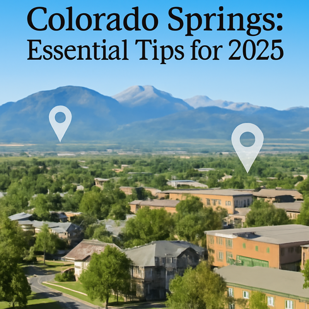
Relocating to Colorado Springs: Essential Tips for 2026
Relocating to Colorado Springs in 2026 means joining a city that passed 495,000 residents in 2023, according to U.S. Census Bureau QuickFacts. That growth reflects both expanding military missions and a strong outdoor-focused lifestyle. New arrivals weigh neighborhoods from Old Colorado City to Briargate, comparing commute times, school ratings, and trail access. Housing costs, wildfire awareness, and altitude adjustment also enter the conversation. A structured approach to research, neighborhood tours, and budgeting helps turn a complex move into a confident long-term decision.
What Should Residents Know About Colorado Springs Neighborhoods in 2026?
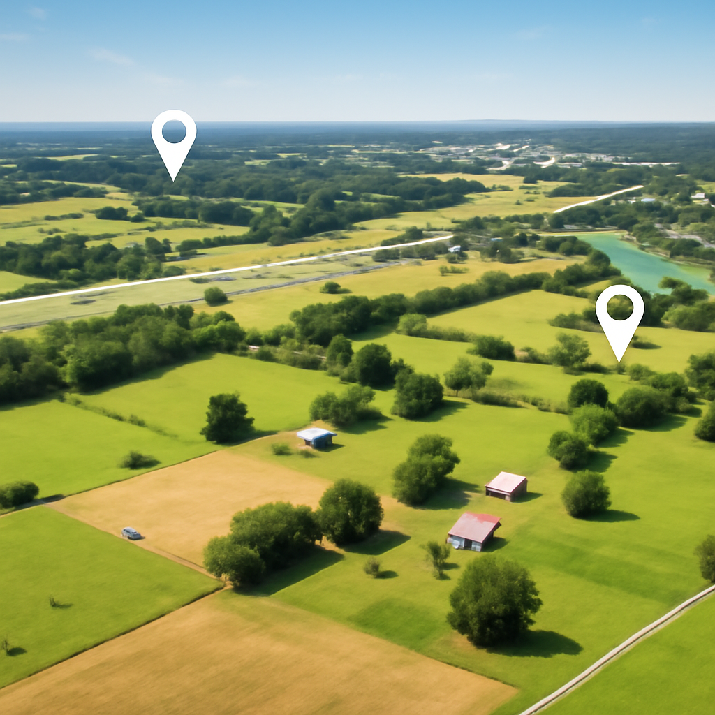
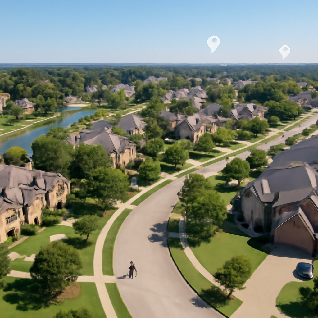
Colorado Springs stretches from historic downtown blocks along Tejon Street to newer master-planned communities in Briargate and Wolf Ranch. According to Walk Score, the city overall holds a walk score in the mid-30s, while central areas near Colorado College and the Old North End score significantly higher. Neighborhoods such as The Broadmoor, with tree-lined streets near The Broadmoor hotel, command premiums, while Southeast Colorado Springs offers more budget-friendly options and quick access to Colorado Springs Airport.
Character varies sharply by corridor. Old Colorado City, centered on Colorado Avenue, features brick storefronts, galleries, and easy access to Red Rock Canyon Open Space. North Academy Boulevard links denser commercial zones, including Chapel Hills Mall and The Promenade Shops at Briargate. In contrast, the west side around Mountain Shadows and Rockrimmon backs up to Ute Valley Park and Blodgett Peak Open Space, where wildlife sightings are common. These differences shape everything from weekend routines to insurance considerations.
Late afternoon on Tejon Street downtown brings a mix of golden light on Victorian facades and the low murmur of conversation spilling from Phantom Canyon Brewing Company. The smell of grilled food drifts from street-level patios near Acacia Park, while the distant outline of Pikes Peak turns deep purple. Passing cars move slowly over the textured pavement, and the cool high-desert air makes even a short walk from the Colorado Springs Pioneers Museum feel crisp and energizing.
According to neighborhood pricing data from Redfin, as of early 2025 many central single-family homes trade in a broad range between roughly $400,000 and $650,000, while newer north side properties in Briargate often push higher. Townhomes near Powers Boulevard and Stetson Hills typically fall into the lower part of that range. Those figures shift quarter to quarter, but the pattern of higher prices near the foothills and sought-after schools remains consistent.
How Do Commutes, Transit, and Daily Logistics Shape Life in Colorado Springs?
Colorado Springs remains primarily a driving city, though certain corridors offer alternatives. According to American Community Survey estimates summarized for the region, average commute times hover around 25 minutes. Major routes such as Interstate 25, Powers Boulevard, and Nevada Avenue handle most daily traffic. Proximity to these arteries often matters more than straight-line distance when residents choose between neighborhoods like Security-Widefield, Downtown, or Briargate for 2026 moves.
Mountain corridor travel introduces additional complexity. US Highway 24 connects the city to Woodland Park, Manitou Springs, and eventually to ski areas farther west. Winter storms can slow traffic quickly, particularly near Ute Pass. According to winter driving guidance from Colorado Department of Transportation, traction laws activate on certain routes several times each season. Residents commuting from west-side enclaves such as Cedar Heights weigh scenic beauty against more variable winter travel conditions.
Mountain Metro Transit operates fixed bus routes, with several lines converging near the downtown Transit Center on Kiowa Street. According to Mountain Metro Transit, more than 20 routes serve key destinations, including Peterson Space Force Base and the Citadel Mall area. While service frequency does not match larger metros, strategic use of routes along Academy Boulevard and Platte Avenue can reduce vehicle dependence for some households, especially those living near Colorado College or the Mill Street neighborhood.
Early mornings near Palmer Park bring a different rhythm from downtown. The first light catches frost on the grass along Maizeland Road, while the faint crunch of gravel under running shoes echoes from the Templeton Gap Trail. The smell of pine and damp earth hangs in the cool air, and distant traffic on North Academy Boulevard sounds softened and far away. Dog walkers trade quiet greetings, and the silhouette of Cheyenne Mountain slowly sharpens against a pale orange sky.
What Housing Costs and Market Trends Matter Most Before Relocating?
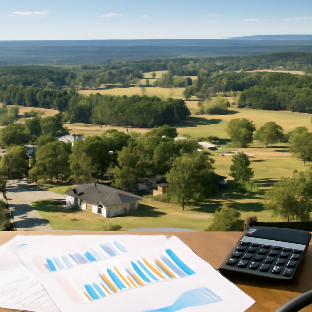
Housing costs in Colorado Springs tightened significantly during the early 2020s. According to market summaries from National Association of Realtors, Front Range metros, including Colorado Springs, saw cumulative price gains in the range of 30% to 40% between 2020 and 2024. In practical terms, many resale homes that once sold near $350,000 now land closer to or above $450,000, depending on condition, location, and school zone.
Rental dynamics also influence relocation timelines. According to RentCafe, average apartment rents in Colorado Springs in late 2024 clustered around the low-to-mid $1,700 range for standard units, with studios and small one-bedrooms often under that figure and larger, newer properties near InterQuest Parkway or the North Gate area reaching above $2,000. Many relocating households plan for a rental period of at least 6 to 12 months before purchasing.
Down payment and mortgage planning also require attention. Standard conventional loans frequently assume down payments of 5% to 20%, while FHA loans allow as little as 3.5%, according to program guidelines from HUD. With purchase prices for many three-bedroom homes in popular districts like Briargate or Vista Grande falling between roughly $450,000 and $650,000, that range translates into down payments that can easily exceed $20,000 even at lower percentages.
Property taxes in El Paso County typically track below some coastal markets but still affect monthly budgets. According to data from El Paso County Treasurer, effective property tax rates often fall between about 0.5% and 0.7% of assessed value. Insurance premiums around foothill neighborhoods such as Peregrine, Broadmoor Bluffs, or Skyway may trend higher because of wildfire exposure and hillside terrain, while more central neighborhoods on flatter ground often see relatively moderate rates.
How Do Schools, Employers, and Military Installations Influence the City?
Military installations shape both the economy and daily life. Fort Carson anchors the south side, while Peterson Space Force Base and Schriever Space Force Base sit to the east. According to regional workforce analyses summarized by Colorado Springs Chamber & EDC, defense-related employers account for tens of thousands of jobs, with military and civilian roles combined exceeding 70,000 positions across the metro area. This footprint stabilizes demand for housing in neighborhoods like Fountain, Security-Widefield, and the Banning Lewis Ranch corridor.
Education options span several districts. Academy School District 20, serving areas like Briargate and Northgate, consistently reports strong performance. GreatSchools ratings for individual campuses such as Discovery Canyon Campus and Da Vinci Academy often fall in the upper ranges; for example, GreatSchools lists multiple schools in District 20 and Cheyenne Mountain School District 12 with ratings between 8 and 10 out of 10. Such figures explain the premium attached to homes near Cheyenne Mountain High School and Rampart High School.
Higher education adds another layer. The University of Colorado Colorado Springs (UCCS) continues expanding its campus along Austin Bluffs Parkway, while Colorado College anchors the downtown academic scene. According to enrollment data from UCCS, total headcount has exceeded 12,000 students in recent years, sustaining demand for rentals in surrounding neighborhoods like Cragmor and Garden Ranch. These populations support bookstores, cafes, and services along Nevada Avenue and North Circle Drive.
Healthcare and technology also serve as major civilian employers. UCHealth Memorial Hospital Central near Boulder Street and Penrose Hospital near North Cascade Avenue draw professionals from across the Front Range. Employers in the Colorado Springs Airport Business Park and along Garden of the Gods Road add engineering and aerospace positions. Together with tourism focused on Garden of the Gods, Pikes Peak, and the Cheyenne Mountain Zoo, this blend of sectors moderates the impact of any single industry downturn.
What Lifestyle, Climate, and Recreation Factors Affect Long-Term Comfort?
Colorado Springs residents experience a semi-arid, high-altitude climate. According to climate normals from the National Weather Service Pueblo office, the region averages roughly 18 inches of snow annually in the city center, with higher totals in foothill neighborhoods closer to Garden of the Gods and Manitou Springs. Summer high temperatures often land in the 80s, while winter highs commonly remain in the 40s or low 50s. Rapid temperature swings within a single day are common because of elevation and dry air.
The outdoor network remains one of the region’s defining strengths. Garden of the Gods, Red Rock Canyon Open Space, Palmer Park, and Memorial Park together provide hundreds of acres of trails, fields, and picnic space. According to park system comparisons by Trust for Public Land, Colorado Springs offers park access for a majority of residents within a short walk or drive, although gaps exist in some southeast neighborhoods. Trailheads near Cheyenne Mountain State Park and North Cheyenne Cañon Park serve hikers from across the metro.
Air quality and wildfire risk require ongoing awareness. During regional wildfire seasons, smoke from incidents in the Pike National Forest can drift into neighborhoods like Broadmoor Hills, Rockrimmon, or Mountain Shadows. Guidance from the Colorado Air Pollution Control Division encourages limiting outdoor exertion on days when particulate levels spike. Insurance carriers sometimes request defensible space practices, especially near heavily forested slopes above Gold Camp Road and along Cheyenne Mountain Boulevard.
Indoor amenities round out the lifestyle equation. The U.S. Olympic & Paralympic Museum downtown, the Pikes Peak Center for the Performing Arts, and local breweries such as Bristol Brewing Company at Ivywild School bring culture and dining into everyday routines. Retail corridors at Chapel Hills Mall, The Promenade Shops at Briargate, and the First & Main Town Center on Powers Boulevard ensure ready access to groceries, specialty shops, and entertainment, reducing the need to drive to Denver for many categories of goods.
The 495,000-resident milestone cited at the start of this guide reflects a city growing into a more complex, opportunity-rich metro through 2026. That same population figure from the opening underscores both sustained housing demand and the importance of careful neighborhood selection. The Pikes Peak Association of Realtors market statistics page offers one of the clearest recurring snapshots of inventory, pricing ranges, and absorption trends. Households that monitor those reports closely and register listing alerts before the spring surge in March, then tour promising properties within 48 hours of listing, consistently secure stronger terms than late-arriving competitors in Colorado Springs.
Categories
Recent Posts